Update: As of 11/18, the path is open along NE 12th and the sidewalk on 112th in front of the new fire station is still closed. Bike markings have been added to the street, and it is starting to look more finished.
Note: I spoke too soon – the pedestrian closure is in place again as of 11/11/25. I’ll add a clarification if I get any more info from the city.
Pedestrians and cyclists are celebrating the reopening of the NE 12th multipurpose path between 110th and 112th, which was fenced off in July due to work related to the new Fire Station #10. It is an important segment in the protected bike connection between Spring District and the north side of Downtown Bellevue.
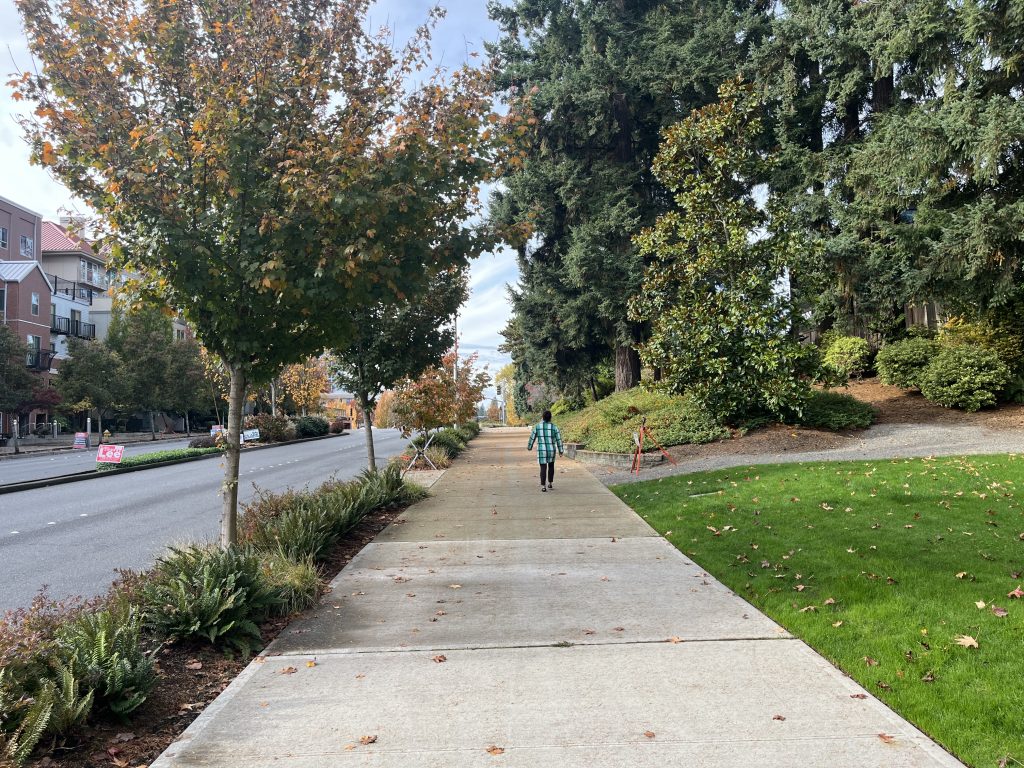
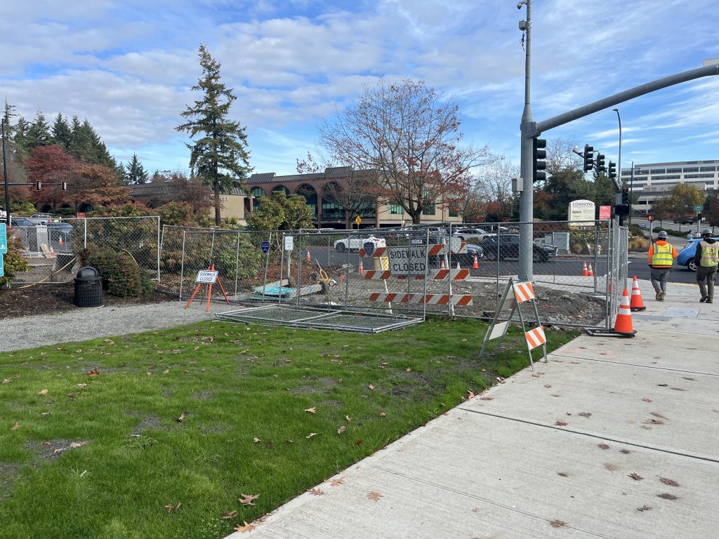
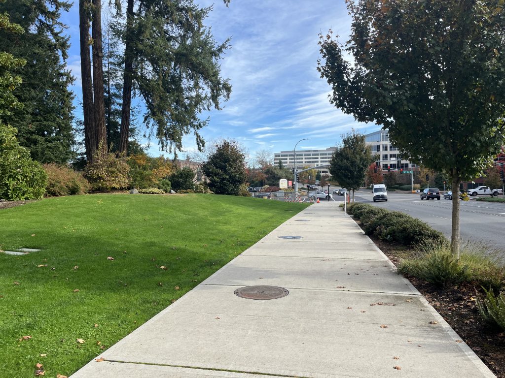
I went there at the beginning of November to enjoy the path and adjoining McCormick Park with my toddler. Here are some pictures from that visit. When I was there, the sidewalk heading north along 112th was also open; I believe that it wasn’t quite ready but was being used as a temporary pedestrian detour, because a concrete pour was in progress for the sidewalk on the east side of 112th in front of the Commons medical building across the street. A friend of mine went there today and reports the sidewalk along 112th Ave NE now appears to be complete and fully open.
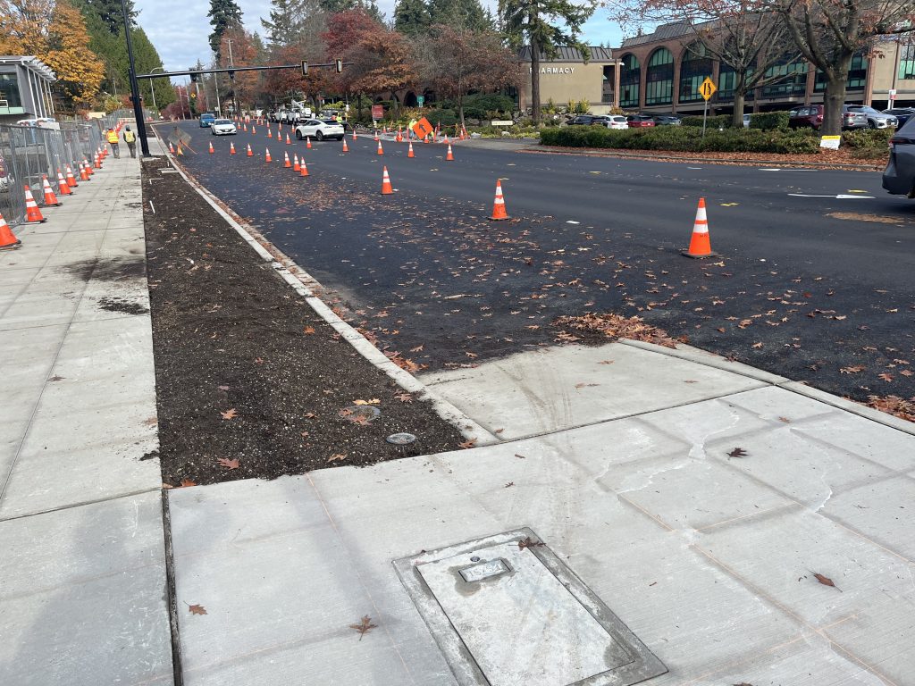
There was also a resident question recently about the reason for cones blocking off what appeared to be the right-most lane of southbound 112th Ave NE. It’s hard to tell from the picture here, but there’s not enough room for an additional car lane between the cones and this ramp up to the multiuse path. If you tried to drive on the other side of the cones, you’d end up with your car half on the sidewalk. I think this will be more understandable to drivers once the bike lane in this area has been painted.
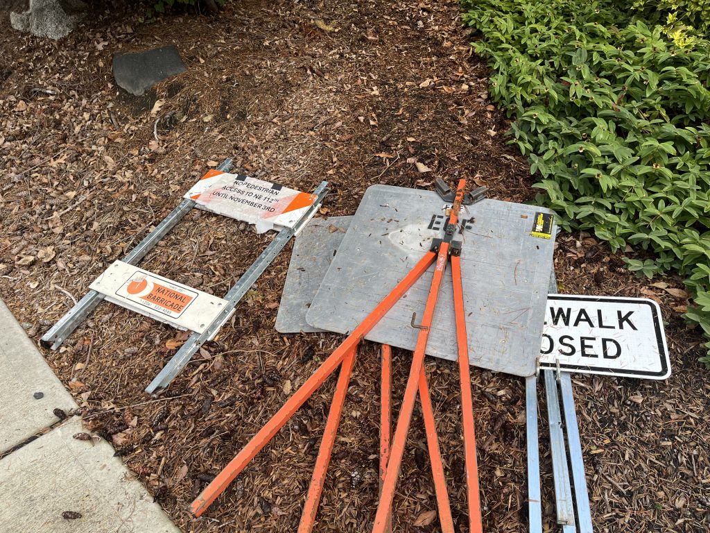
When I reached out to the city to ask about the closure at the beginning of August, the plan was for the pathway to reopen in early to mid-September, but I think it only opened in the last week of October. From the signs below, there was probably a posting somewhere that the closure would extend to November 3rd, but it didn’t seem like the other walkers I talked to were aware of any timeframe for the reopening.
In general, I think we need to do a better job of planning and communicating pedestrian detours. What else do you think would be useful in situations like this and the CKC closure (through end of year)? Please add more suggestions in the comments.
- Signs with info about the work that is causing the closure, with timelines updated as needed.
- Option to add yourself to an email list to be notified when the path opens again.
- Integration with pedestrian route planning such as Google Maps
Leave a Reply